Mount Manunggal is situated in Brgy. Magsaysay in the municipality of Balamban, Cebu. It is about 1,003 meters above sea level. What made climbs more enticing is the historical value of this mountain. Very near its peak is the crash site of the presidential plane Mount Pinatubo which carried President Ramon Magsaysay and 17 of his staff and some news correspondents to their untimely death with only one survivor (Nestor Mata) on March 17, 1957. An annual trek is held in commemoration of Magsaysay's death - perhaps the most positively popular (least criticized, if criticized at all) and beloved president of the Philippines.
The area is accessible through many trails. For our trek, we started with the easy trail through a dirt road in Trancentral Highway (Gaas, Balamban) and ended in Tagba-o. The descent towards Tagba-o presented us with the absence of forest canopies (we ended up wet with the slight drizzle and I was growing hesitant of taking out my camera due to the rain) and wildlife. The trail is narrow and can accommodate at most two persons to pass by each other at some of its narrow parts. There are also not enough barriers to impede movement or the pull of gravity. The mud due due to the rain aggravated the difficulty of our descent. Lucky for us the sun did not shine that day. There is a lack of shady areas to rest from the heat. The trail also traverses into upland farms planted with corn, eggplants, cabbages, roses and many others.
I am saving the other muddy details of this trek to the six of us who went there. The trek was both tiring and enjoyable. My legs were still aching two days after the trek, and I forced myself not to hurl invectives whenever I used the stairs. The following pictures were taken on the day of the trek.
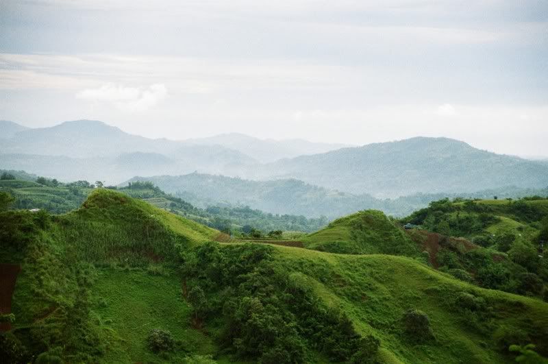
Above is a roadside view along the Trancentral Highway. We asked the drivers to stop for us to take some pictures.
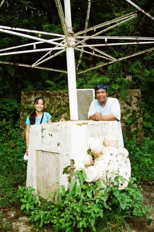
In the shot above, I am joined by Erisa Ty-Pabalinas, a good friend since college. This is the housing of the cylinder block of Mount Pinatubo's main engine. I really wish my Philippine History teacher and trainor, Mrs. Edisa Nequia, could see this.
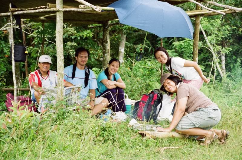
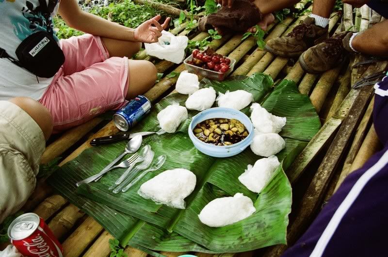
Lunching in the camp site. It consisted of pork chops and chorizo cooked-on-site delectably enhanced by tomatoes, calamansi and soy sauce with rice, greased down by Coke and Pepsi with ice. The rolling camp site is wide and grassy with trees rimming the area. With their sizes, I think they are already second-growth trees. (The team, L-R: Al Michael Caballes, Ruel Soriano, Erisa, Rose Angelita Reyes, Genisa Dacillo)
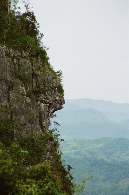
The monkey-face rock formation above is visible from the Balamban field office which is about 30 meters above the rim of the camp site. Behind the field office is the downward trail to Tagba-o.
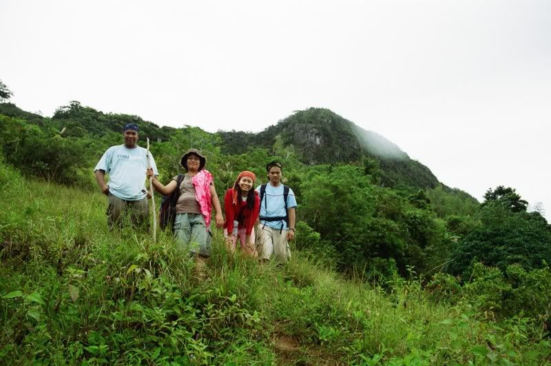
Posing along the trail. Behind us is the monkey-face rock formation. We were already wet by sweat and rain.
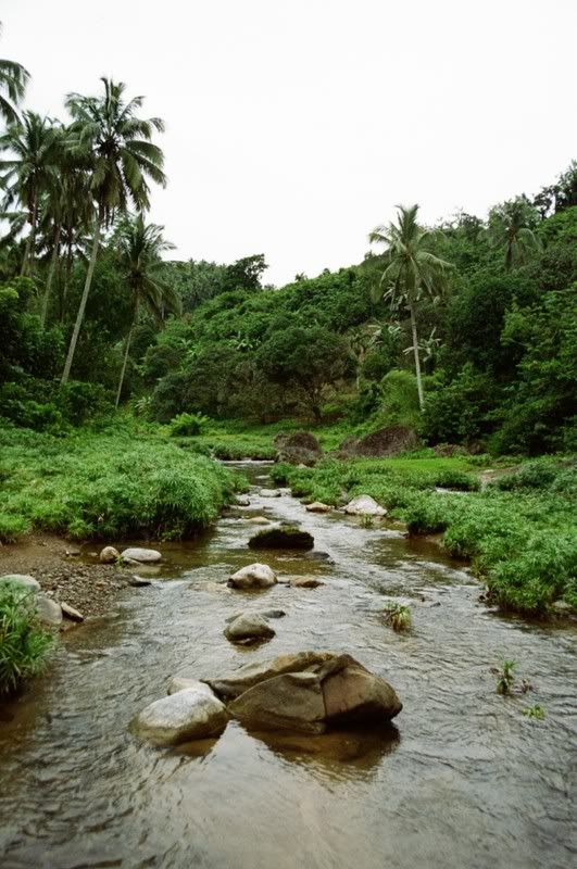
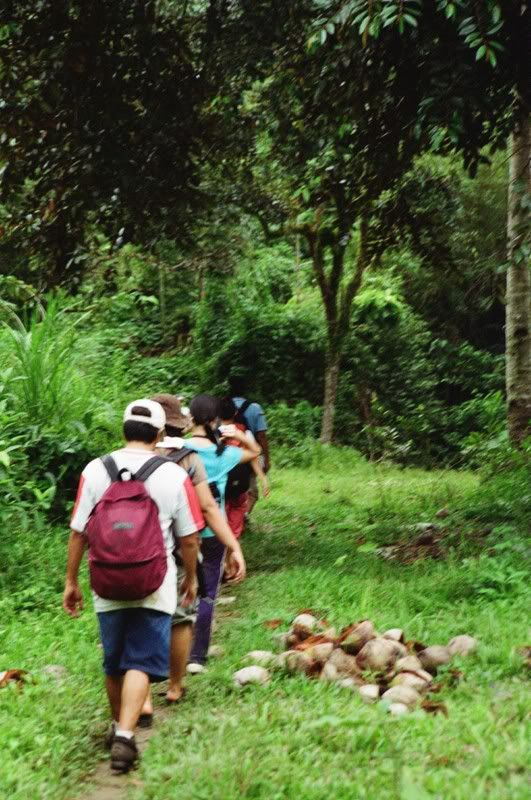
In the valley at last! After several hours of slipping and falling, we finally reached the valley, marked by this river. We followed the curbs of the river until some deep parts forced us to pass some well-worn trails.
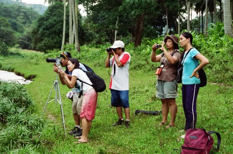
Before we finally decided to follow the road trails, we passed through a small waterfall. The rest were so occupied with taking pictures of the minute fall. I found their amusement more picture worthy.

There were actually seven of us that descended from Mount Manunggal. The seventh member of our team is the dog pictured above. She followed us from the camp site until we reach the valley.
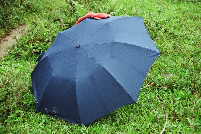
Nothing is more powerful than the call of nature! Someone answered the call underneath an opened umbrella.
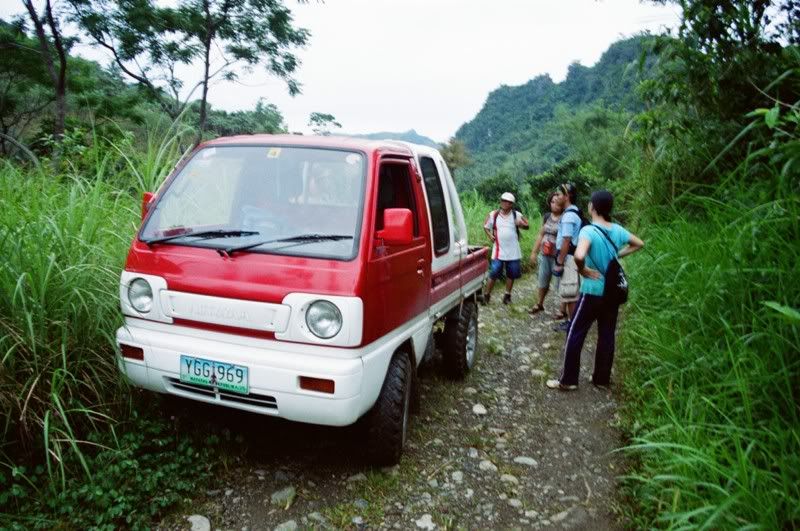
Our serving of grace for this trip. It was getting dark and with no clear estimate as to when we can reach the heart of Tagba-o for the habal-habal ride, this multi-cab was heaven-sent.
After riding for several minutes, we realized how futile it would have been if we continued walking. We did not anticipate the terrain that would be laid before us. It consisted of very rough, high slopes, so high that after the ascent, the multi-cab driver had to take a few minutes to stop and allow the engine to cool. We did several stops like this until we reached Trancentral Highway. Every stop was also interesting since we were covered in sheath of black and there were a few fireflies that accented the dark surrounding.
Despite the slips, falls, mud and muscle aches, I find this experience worthwhile. At long last, I have conquered Mount Manunggal, my last trekking frontier in Cebu.
same here! like that header, too, mark! how i wish i can do that! kaso never pa ko maka pose sina tungod sa fear ko. hehe...
ReplyDeletedon't worry, ms beth. expected ko na maguba akon rubber shoes. but i still want to do some hiking again basta may warning lang ko sa trails nga agyan kag may mabulig uli sa akon. hehehe...
sige ris, kung makapuli ko, hiking ta ni mark :) , hihihi, hopefully, kung may time kita tanan na magsanto
ReplyDeleteon our next trek na sab mark. daghan pa ko pics nimo. tell me which ones you like and i'll give you a full res.. no probs.
ReplyDelete