(Note: Some images in this article contain subjects proprietary to Atlas Consolidated Mining and Development Corporation. The author will respect formal requests coming from the said corporation for the removal of some of these images in exercise of its proprietary rights.)
Traveling from Bacolod City to Cebu by plane, the air highway passes on top of a lake not far from the exposed mountain rock layers of the Toledo mines. I have made several inquiries about this water structure. And recently, I have known it is the Malubog Dam.
Malubog Dam is located in Brgy. General Climaco (formerly known as Malubog) in Toledo City. Designed to hold 2.5 billion gallons of water, the dam was completed in 1970 and is owned by Atlas Consolidated Mining and Development Corporation (ACMDC).
After two cancellations, our trip to Malubog finally pushed through last Sunday, September 14, 2008. We rode a bus from the South Terminal in Cebu City and disembarked after two hours in Sangi, Toledo City. We then took the 30-minute jeepney ride going to Malubog.
We were set down on the western side of the Malubog Dam.
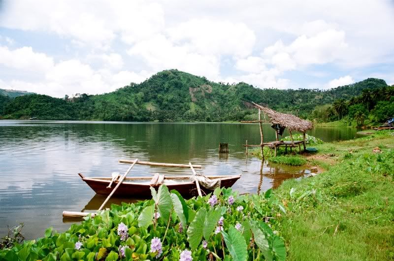
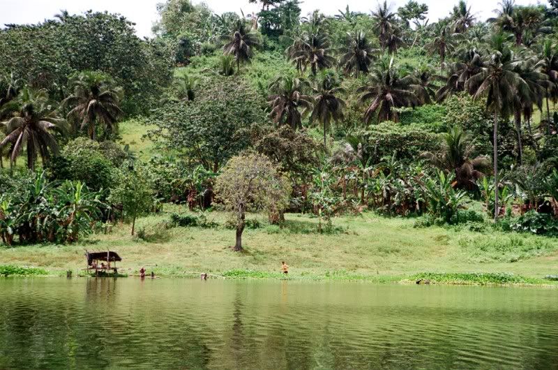
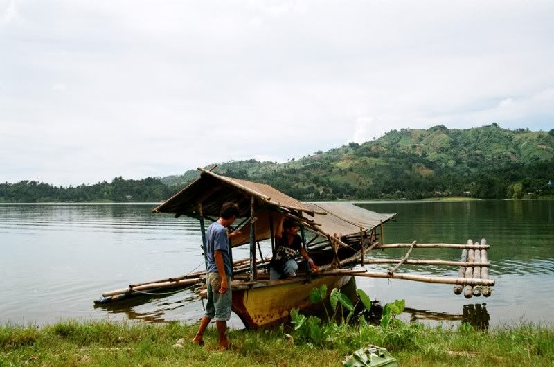
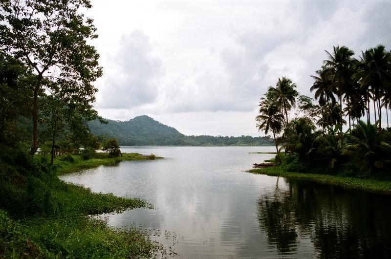
The wide valley in Malubog acted as a large basin for the impeded water, thus the formation of the artificial lake. Near the middle of the lake, there is a group of floating cottages.
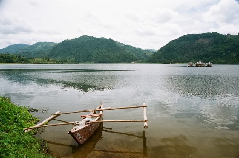
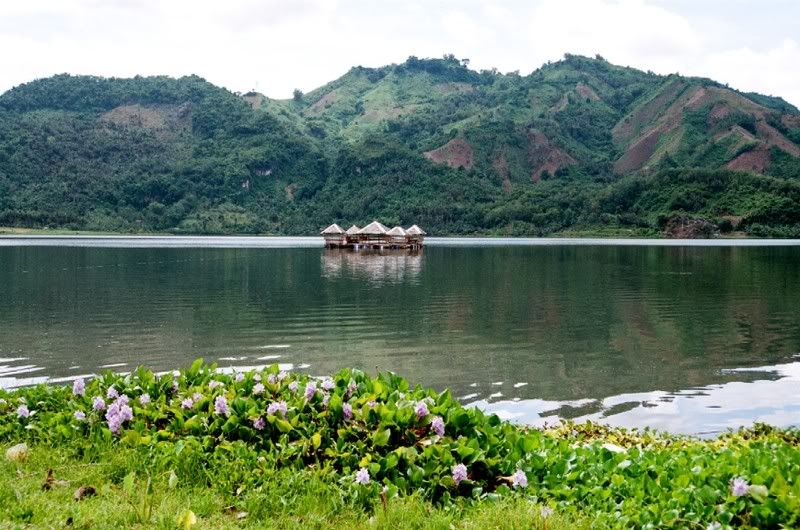
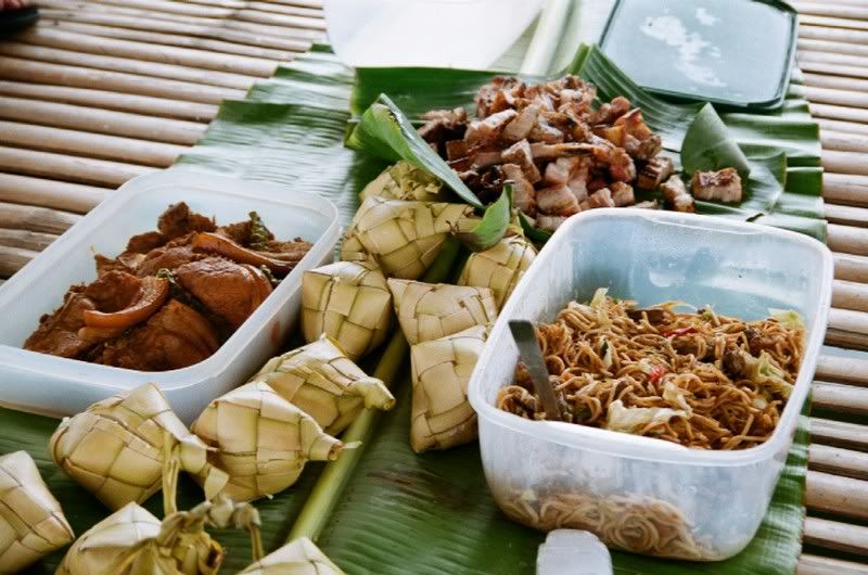
We decided to cross the water and have lunch in the floating structure. We rode an improvised raft with a "trolley line". Movement of the raft is made possible by tugging on this line.
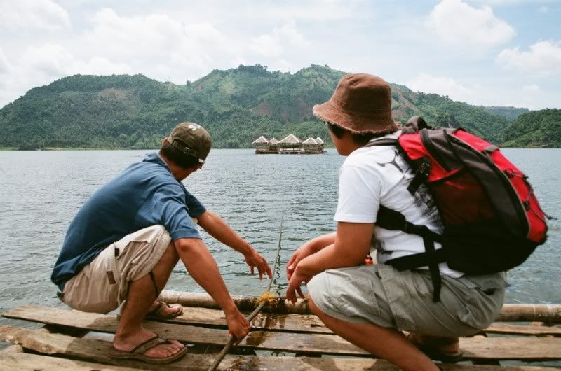
One viand, charcoal-broiled pork belly, was cooked in one of the adjoining cottages.
After lunch, we rested for an hour and we took some time taking pictures of the lake's shoreline. The day actually started overcast but the sun eventually appeared on partially overcast skies late noon, and so most of the pictures I took had flat lighting.
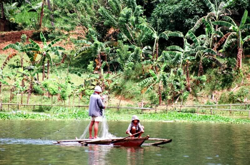
The lake has been seeded with tilapia fingerlings some years ago. Some of the locals are fishing near the lake's shore. It is also apparent that the lake is abundant in freshwater crustaceans as evidenced by the many shrimps we have seen scrimping on the few cooked rice grains that we threw into the water to lure fish.
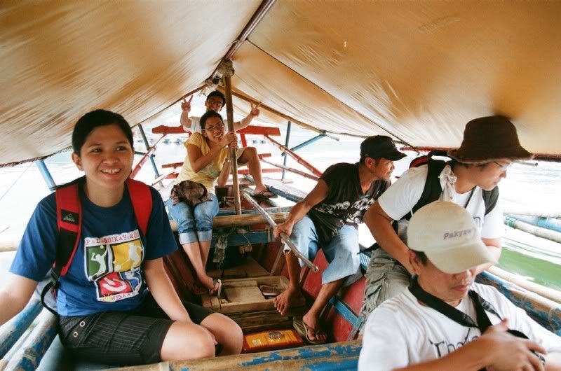
There are motorized outrigger boats plying the lake and taking passengers on opposite sides. A local arranged a boat to fetch us from the floating cottages to the lake's main water source - a small waterfall.
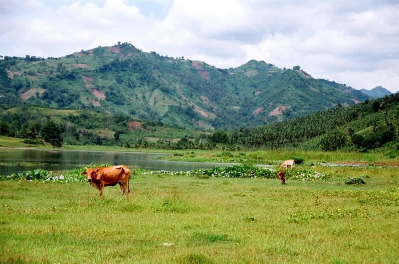
When we reached the shore near the waterfall, we saw some grazing cows. It reminded me of Birch Tree Milk commercials in the early '80's!
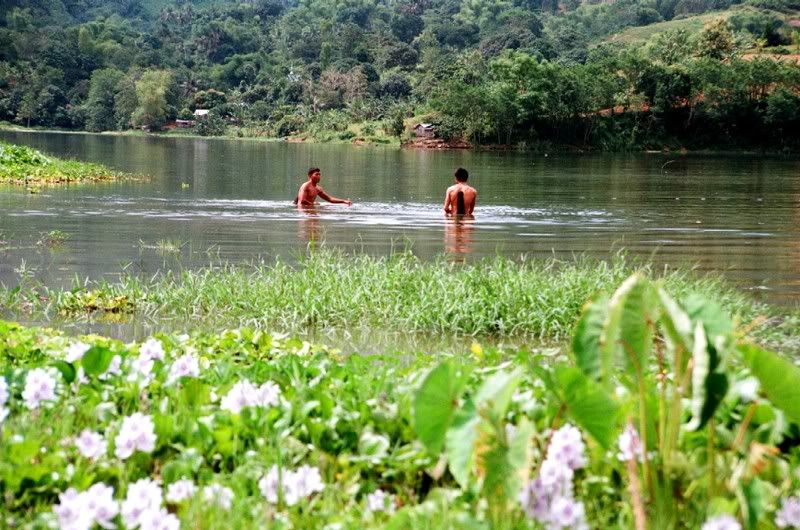
We also saw some locals wading the waters for fish...
After 10 minutes of walking along a small stream, we reached the waterfall.
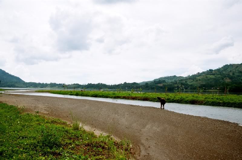
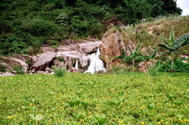
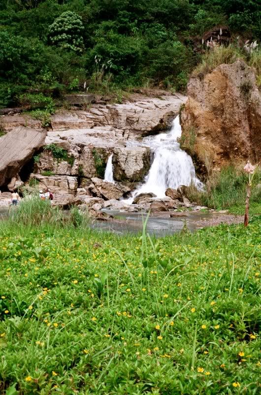
We then trekked the dirt road on the eastern side. This offered another view of the lake.
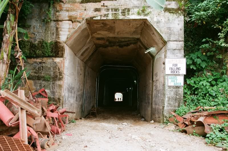
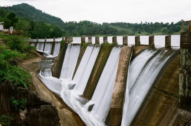
The dirt road actually leads to the embankment that impedes the water flow. Near the embankment is a short tunnel that leads to the water shafts. The water shafts deliver mill water to the mines.
Below is the embankment that holds the bulk of the lake's water.
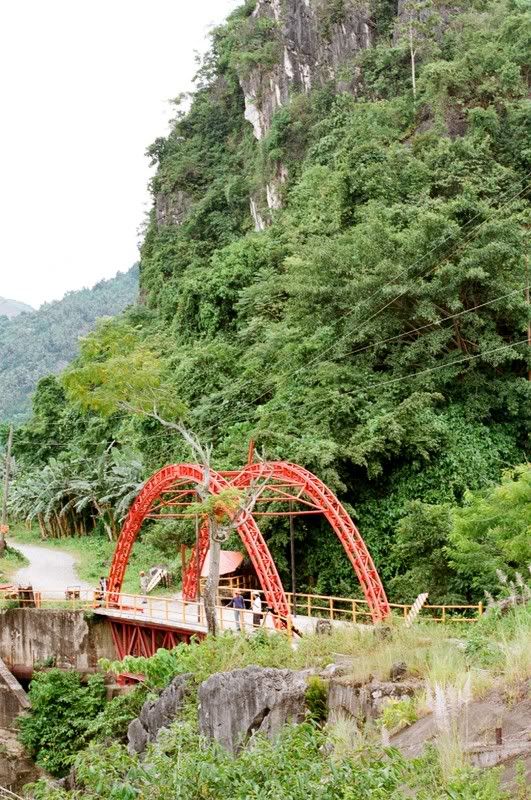
I was standing on the northern side of this bridge when I took the picture above.
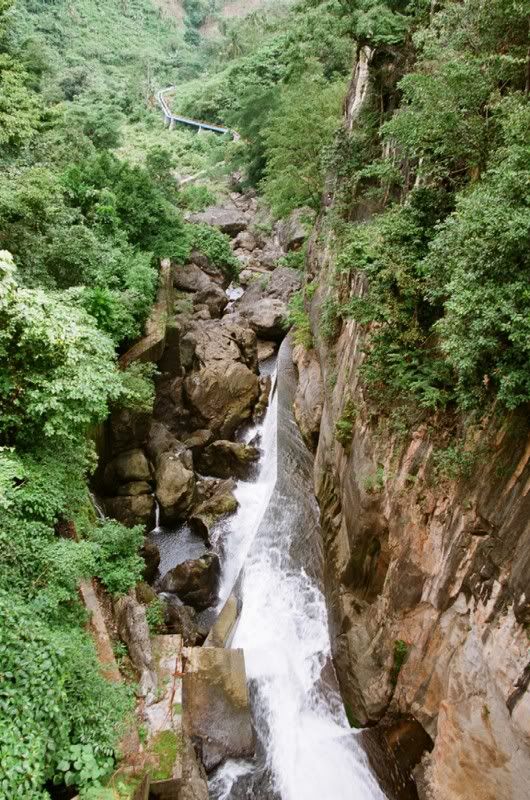
The water from the embankment flows underneath the bridge above and drops to this nauseating rocky ground. The water shafts can be seen at a far distance.
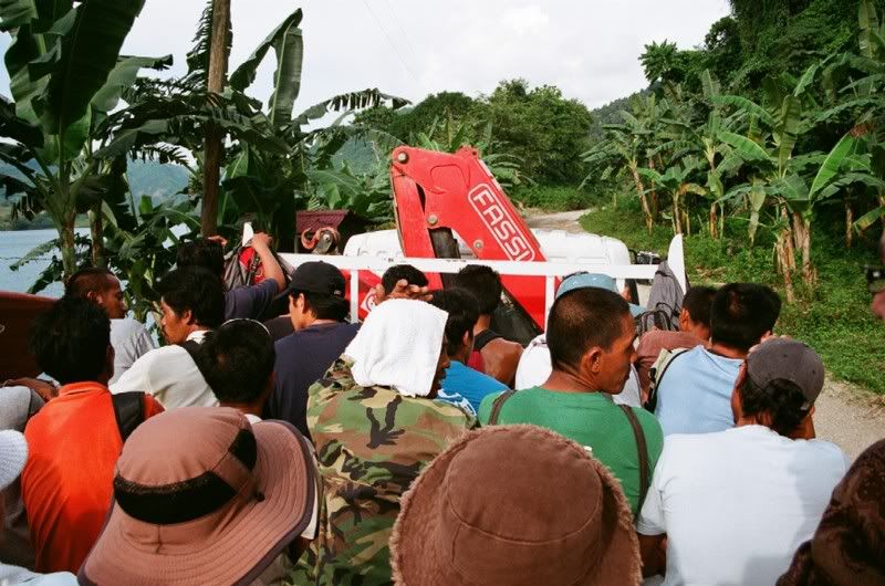
We ended the day with another bumpy ride. We hitched from Malubog Dam to Brgy. Lutopan in ACMDC's truck service for its workers. We passed through the coiling dusty roads and for the first time I was able to see the mines.
Special thanks to Wilson Pogoy and Genisa Dacillo for guiding us through this adventure as well as the sumptuous lunch in the middle of the lake.
I started to create a website for the place so people would be able to know that this kind of place is available here in cebu.....
ReplyDeletethank you...this blog provides me the inspiration i needed for opening another site......
God bless
the photos reminds me of Killarney lake of Dublin Ireland...
ReplyDeletevery nice photos
i like the pic,so nice!!!parang gsto ko ng umuwi....
ReplyDeleteHi! The pictures and captions are very informative. It reminds me of my days also while visiting this place particulary my relatives in Himatugan, the extension of the water source of Malubog Dam. I would suggest you arrange for another trip on that area too.
ReplyDeleteAnother thing, you have mentioned that you'd seen the mine area of ACMDC. Have you taken any photos of these areas? I missed this place. I left there in 1996 and no chance to go back at the moment.
ang ganda ng pic parang gusto dyan na tumira sa casoy...
ReplyDeleteka lami sa poso baya wala mana dire sa laguna.....
ReplyDelete